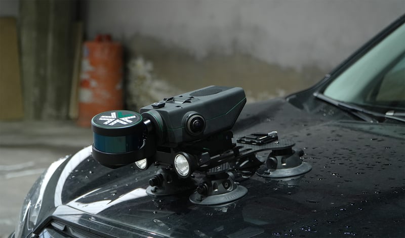
Nexys can be easy and securely mounted to almost any vehicle or surface, allowing you to capture a complete map in rugged environments. Mount options include a 120 lb vacuum suction cup system, and magnetic vehicle mounts.

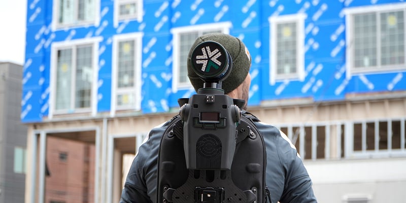
The most comfortable scanning walk you will take! Our ruggedized, water resistant backpack holds and powers Nexys while scanning, and also serves as a storage and travel case. Inside includes secure storage for the Nexys, battery mounting for V-mount batteries, and areas for the tablet and charging infrastructure.

The hardware interface between the drone and Nexys for manually piloted operation or autonomous flight (with autonomy license.)

Dongle that can be mounted to Nexys to add GPS data to post processing algorithm to eliminate drift in long scans.

The Nexys cage provides 360 degree protection in challenging environments with no adverse effect on scan quality or accuracy. safety evaluations, or to remove people from difficult or dangerous mapping situations.

The Trimble DA2 seamlessly pairs with Exyn Nexys to unify underground and surface-level scans into a single, georeferenced dataset—eliminating the need for ground control points and improving post-processing workflows.
 For more simple mapping missions, Nexys operators can mount the payload to a boom for entry into a cavity or other area of interest.

Nexys can be easy and securely mounted to almost any vehicle or surface, allowing you to capture a complete map in rugged environments. Mount options include a 120 lb vacuum suction cup system, and magnetic vehicle mounts.

The most comfortable scanning walk you will take! Our ruggedized, water resistant backpack holds and powers Nexys while scanning, and also serves as a storage and travel case. Inside includes secure storage for the Nexys, battery mounting for V-mount batteries, and areas for the tablet and charging infrastructure.

The hardware interface between the drone and Nexys for manually piloted operation or autonomous flight (with autonomy license.)

Dongle that can be mounted to Nexys to add GPS data to post processing algorithm to eliminate drift in long scans.

The Nexys cage provides 360 degree protection in challenging environments with no adverse effect on scan quality or accuracy. safety evaluations, or to remove people from difficult or dangerous mapping situations.

The Trimble DA2 seamlessly pairs with Exyn Nexys to unify underground and surface-level scans into a single, georeferenced dataset—eliminating the need for ground control points and improving post-processing workflows.
 For more simple mapping missions, Nexys operators can mount the payload to a boom for entry into a cavity or other area of interest.

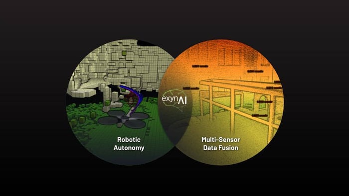
ExynAI is capable of consuming and analyzing a variety of data streams once the appropriate sensors are connected to Nexys while mapping. This can be a vital tool for first responders looking to capture gas sensor readings while creating a response plan or for simply overlaying GNSS information on a digital twin.
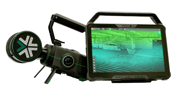
The Nexys autonomy and mapping ecosystem is built from the ground up to give surveyors a modular, mobile tool to collect real world data and transform it into accurate, actionable digital twins.
Explore ExynAI
Modular robotic autonomy in a sleek, portable package. Get in touch to learn about how Nexys can transform your surveying and inspection workflows.
Request A Demo