Nexys
| Points Per Second | ~600,000 |
| Maximum Range | 100m @ 80% surface reflection |
| Return Type | Dual with Intensity |
| Range Accuracy | Up to ±2cm |
| Point Cloud Colorization | ✅ |
| LiDAR Sensor | Velodyne VLP-16 Puck LITE |
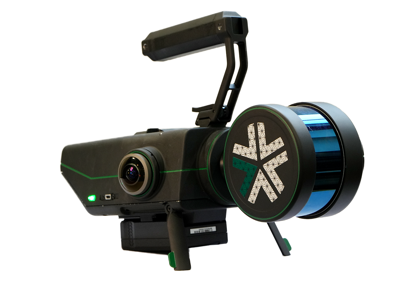
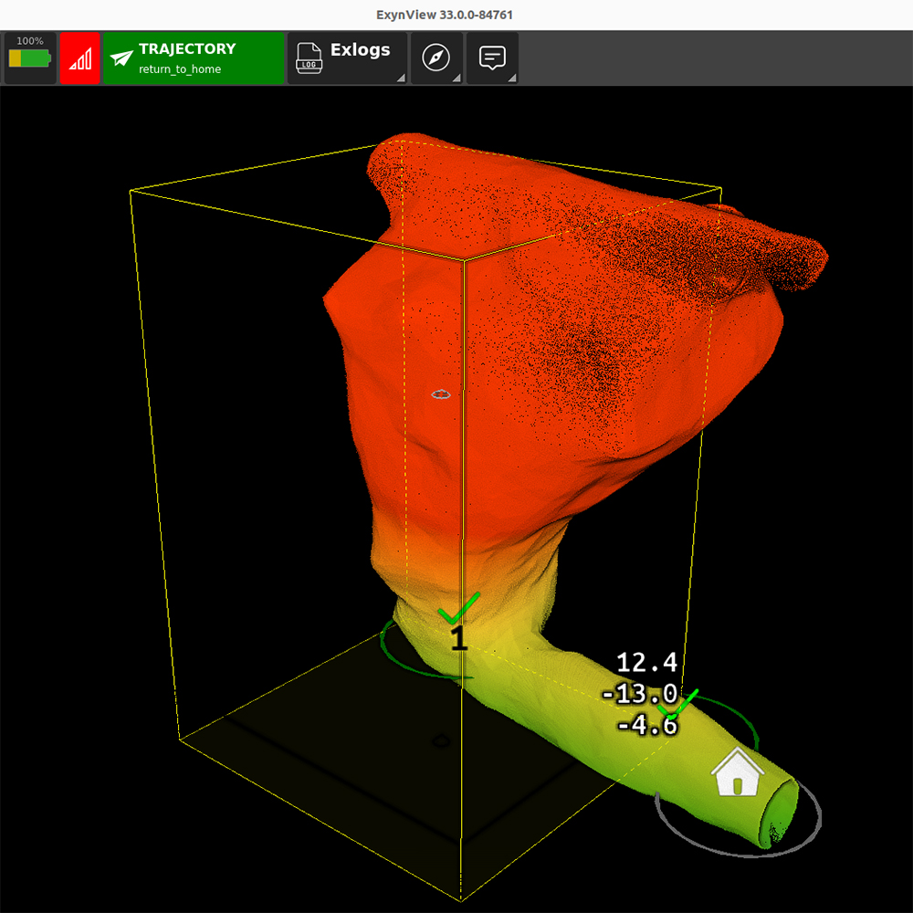
The Aerial Autonomy License unlocks several mission modes for aerial drone exploration and mapping in potentially unsafe environments.
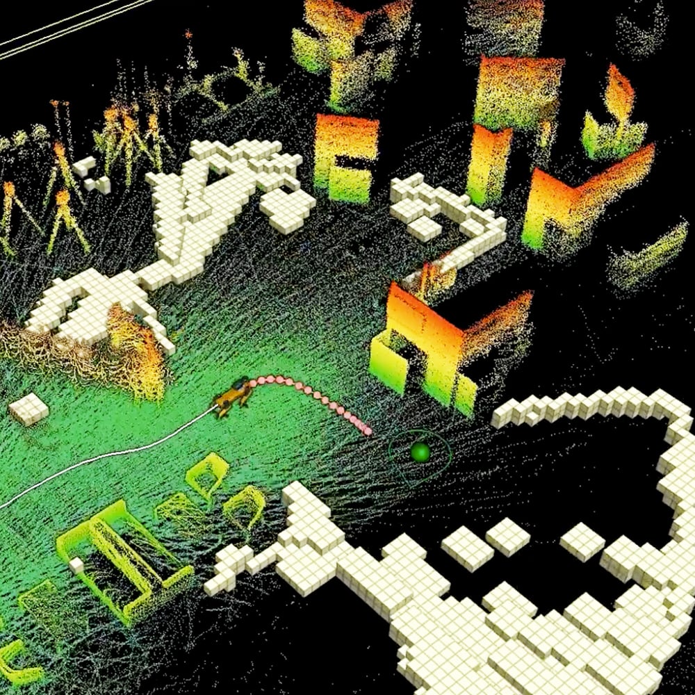
The Terrestrial Autonomy License unlocks mission modes for ground-based robotic exploration and mapping for surveying and inspection.

Combo autonomy enables survey teams to explore & map complex environments using aerial and/or ground-based robotic platforms.
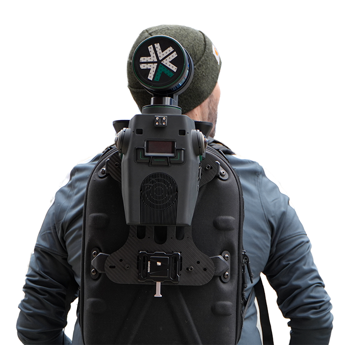
Using human-powered exploration? Nexys comes equipped with a Standard Mapping package for capturing feature-rich 3D models by hand.
Capture precise, survey-grade 3D point clouds in minutes, even in GPS-denied or signal-limited environments with the Aerial Autonomy License.
For more grounded surveying operation, Nexys with Terrestrial Autonomy License can power robots like Spot on autonomous missions.

Dell tablet (includes charger & kickstand)
Retro-reflective survey markers
ExynView software for point cloud visualization and post-processing
1 year warranty with unlimited support

Nexys deployed in an underground mining environment