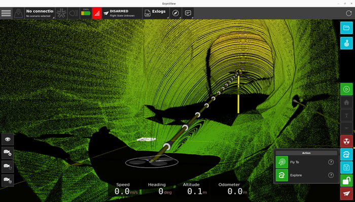
Our software suite used to plan and execute autonomous missions, view real-time point cloud data, as well as post-process Nexys logs into actionable 3D digital models.

Surveying professionals can quickly and easily plan autonomous exploration missions through ExynView to send Nexys-enabled robots into areas too dangerous for people to work.
Operators can choose between fly-to or exploration mission modes depending on the environment and use case. And track real-time progress of the mission while communications are in range.

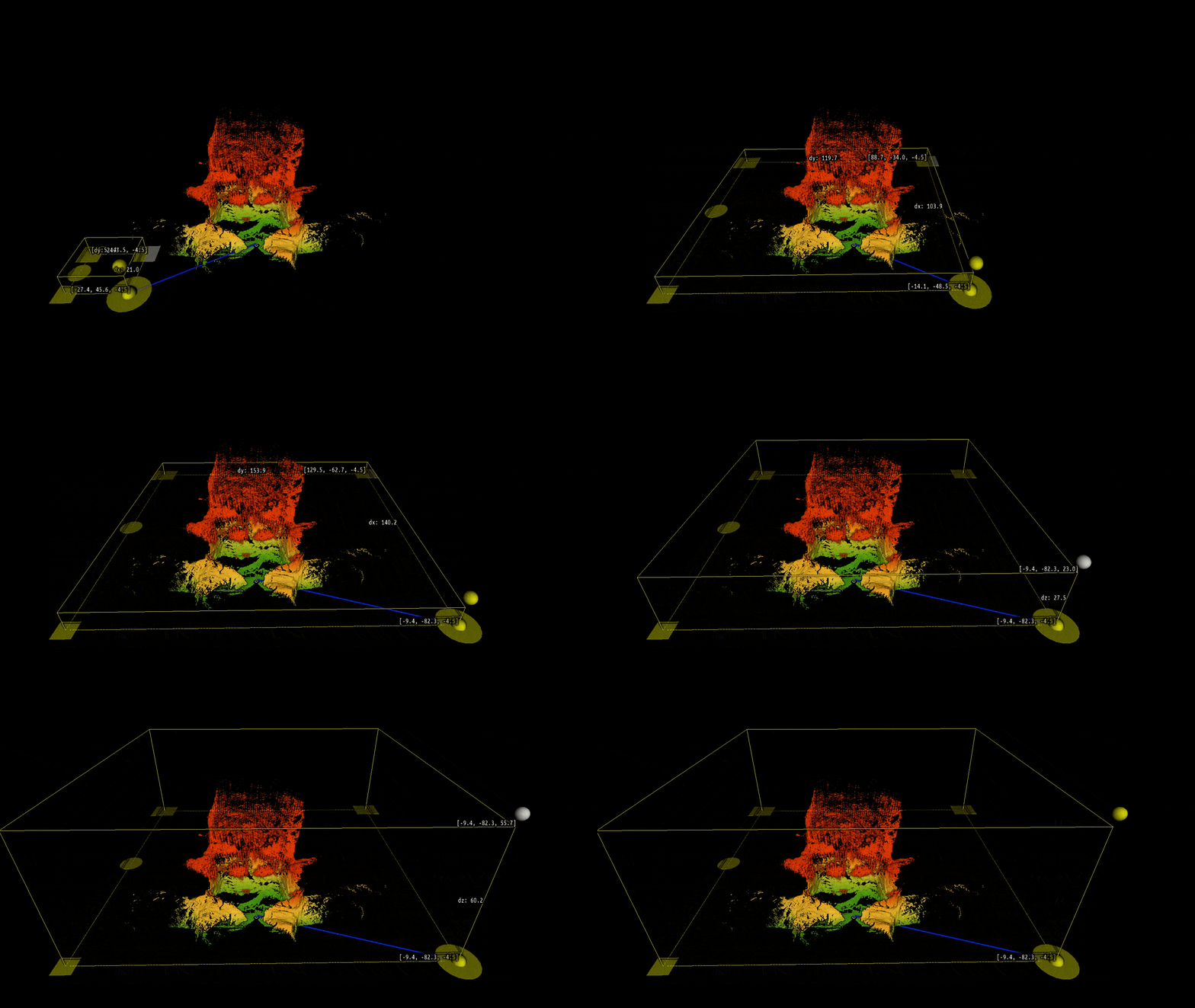
Exploration mode is built for venturing into the unknown. Nexys operators can simply define an area of interest inside ExynView and then launch a mission for the robot to explore. Once the mission is sent, Nexys takes control to intelligently map the entire area without the need for a connection with the tablet or a pilot in the loop.
All data is stored onboard Nexys to be post-processed with ExynView after the mission is complete.

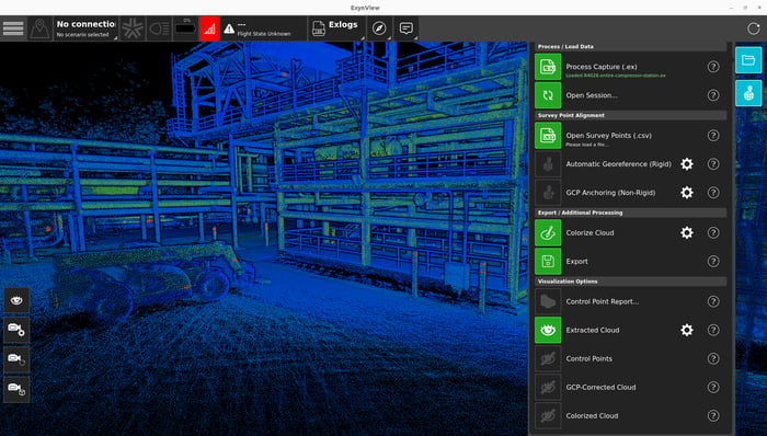
ExynView's post-processing software can transform Nexys logs into actionable 3D models without ever needing to leave the job site.
Robust Mobile SLAM: ExynView is equipped with aggressive loop closure and map constraint algorithms capable of reducing or eliminating any accumulated drift captured during a SLAM scan.
Georeferencing: Surveyors can quickly georeference point clouds with pre-surveyed ground control points (GCP) or through GNSS/RTK data streams captured with sensors like a Trimble DA-2.
Colorization: Using the onboard RGB cameras on Nexys, ExynView can colorize post-processed point clouds for more realistic digital twins and BIM renderings.
Photospheres: For more intensive inspection applications, ExynView can export 360º photospheres that can be easily ingested into a standard reality capture platform for further analysis.
Not every surveying workflow is the same, which is why ExynView gives teams the freedom to capture and export actionable 3D models into standard industry formats (LAS, PLY, XYZ, e57, etc.) with the accuracy and detail needed to get the job done.
ExynView's robust post-processing pipeline can quickly take a scan from captured to rendered with planned steps for operators to execute loop closure, GCP or GPS/GNSS georeferencing, point cloud colorization, or photosphere export.
A batch post-processing suite is current in development, get in touch to learn more.