

Meet the fully-integrated pilotless drone that navigates complex environments while gathering precise 3D data.
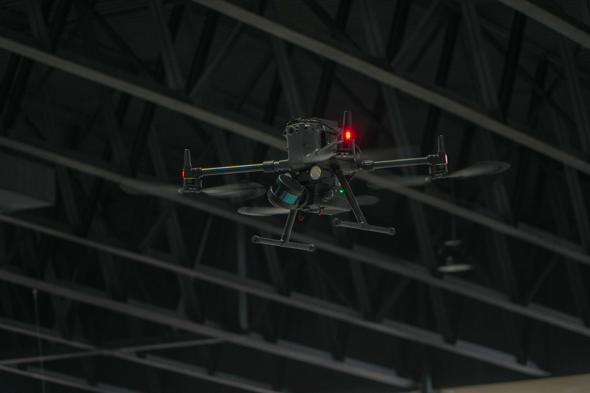

Our industry-leading autonomous intelligence powers robots to carry out safer flights and capture otherwise impossible to reach data without the use of prior maps, GPS, or existing infrastructure.
Browse Autonomy Features


|
Point to Point |
Exploration |
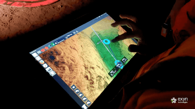
Exyn sets the industry standard for high-speed post-processing. Survey teams process the data collected right on the tablet, as soon as Nexys returns home. Whether still onsite or back at a control center, the entire process takes less time than the flight.


Engineered for flexibility, the ExynAero EA6 uses advanced artificial intelligence and machine learning to adapt to virtually any industrial application.


