



In an industry where precision, efficiency, and safety are paramount, autonomous LiDAR drones are transforming the landscape of surveying workflows in construction, underground cavity monitoring, industrial inspection, and geospatial mapping. By combining state-of-the-art sensors with advanced software algorithms, our drones can autonomously navigate complex environments and collect high-resolution data with precision.
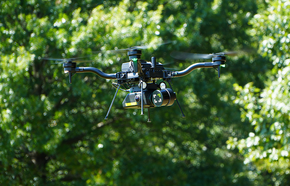

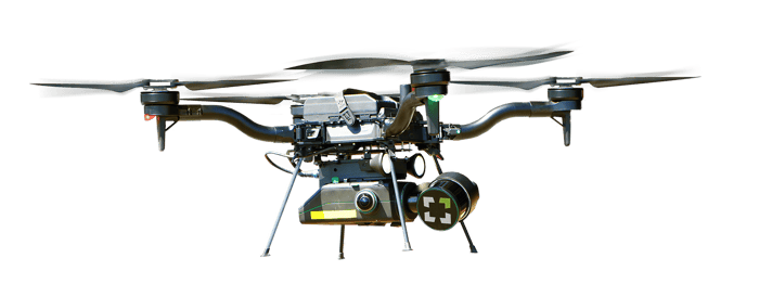
Autonomous LiDAR drones, equipped with Light Detection and Ranging (LiDAR) technology, are changing the game in data collection. Using advanced LiDAR-based SLAM (Simultaneous Localization and Mapping), these drones navigate autonomously, even in environments where GPS is unreliable. They create detailed point clouds, capturing data with unparalleled accuracy and detail.
Learn More about SLAM
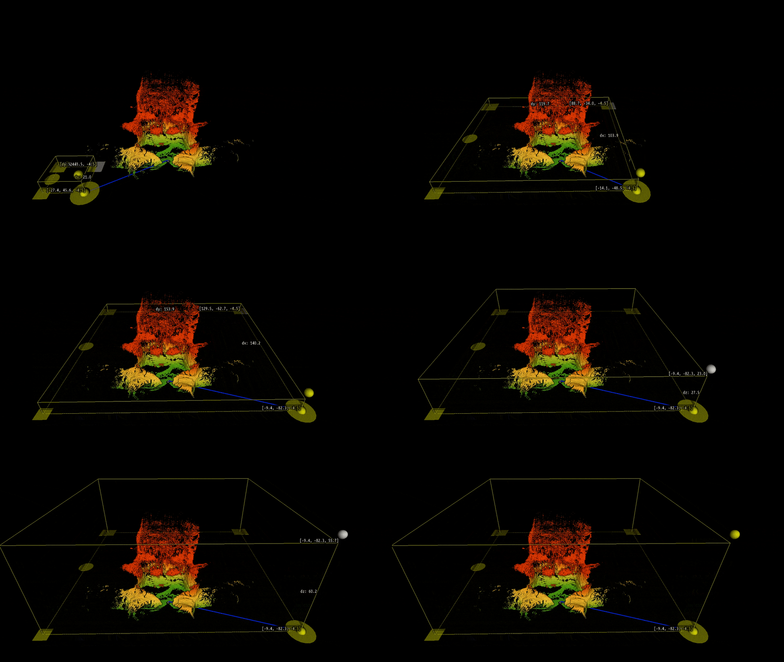
At Exyn Technologies, we're proud to offer AL4 - Autonomy Level 4 - the highest level of aerial autonomy currently available on all of our robots. This means our drones can navigate complex environments entirely autonomously, without any human pilot intervention. Operators simply have to define an area of interest and ExynAero chooses it's own waypoints to cover the entire scan in real time.
This is the algorithm at the heart of ExynAI which powers the autonomous ExynAero and portable ExynPak.
Learn More about Autonomy Level 4
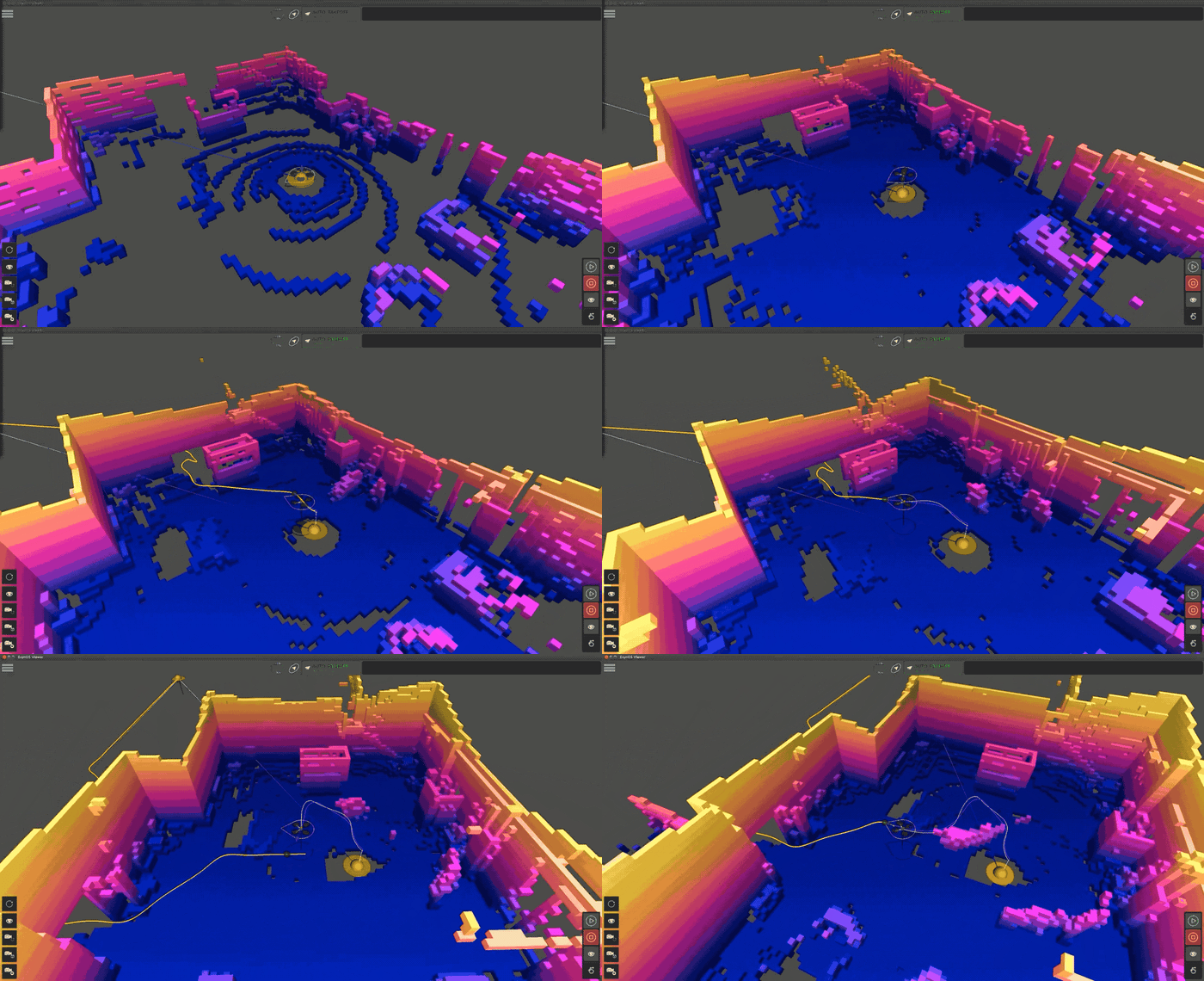
Simultaneous Localization And Mapping (SLAM) is a complex algorithm that allows a robot, such as an autonomous drone, to map an unknown environment while simultaneously tracking its position within it. It's particularly vital in navigating GPS-denied areas such as underground terrain.
SLAM 3D-mapping can use various sensors to visualize its surroundings, including LiDAR, ultrasonic sensors, and cameras. LiDAR-based SLAM uses a LiDAR (Light Detection and Ranging) sensor to “see” its environment. Here’s how that process works:
A LiDAR sensor emits laser pulses and measures the time it takes for the laser to reflect from surrounding objects.
ExynAI creates a 3D point cloud map of its environment by analyzing where these points are in relation to the robot's internal measurement unit (IMU)
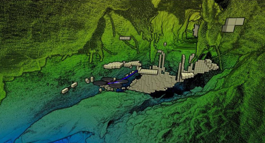
ExynAI then transforms the dense point cloud map into a voxel grid to estimate its position, allowing it to find safe flight corridors and navigate its environment intelligently.
Read More about SLAM 3D-mapping



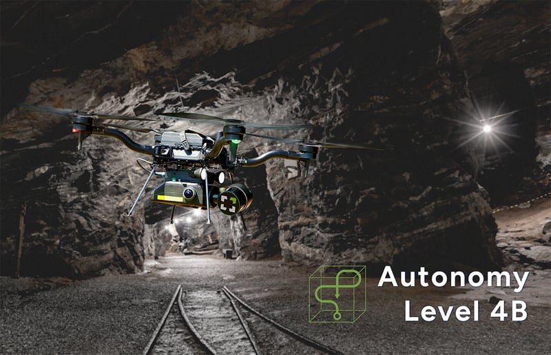
In the mining industry, autonomous LiDAR drones are revolutionizing the way underground and open-pit mines are surveyed and managed. They can safely map and model mine shafts, tunnels, working stopes, and open pits, providing valuable data for volume calculations, structural integrity assessments, and planning of mining operations. This technology significantly improves safety by reducing the need for human presence in potentially dangerous environments. You can read more in a whitepaper comparing an autonomous LiDAR drone to a traditional CMS method.
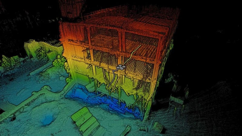
In construction, these drones can be used for site surveying and monitoring progress. They provide accurate and up-to-date 3D models of construction sites, which helps in efficient planning and detecting potential issues early. For infrastructure, they assist in the inspection and maintenance of bridges, buildings, and other structures, especially in hard-to-reach areas, ensuring structural integrity and safety.
Autonomous LiDAR drones are revolutionizing the field of construction and infrastructure inspection by offering a blend of safety, efficiency, and precision that was previously unattainable. These drones provide significant advantages over traditional surveying and inspection methods.
Autonomous LiDAR drones are increasingly becoming a vital asset in search and rescue (SAR) operations due to their ability to rapidly and safely survey large and often inaccessible areas. These drones offer a unique set of capabilities that can significantly enhance the efficiency and effectiveness of SAR missions. Here's how they are being utilized:
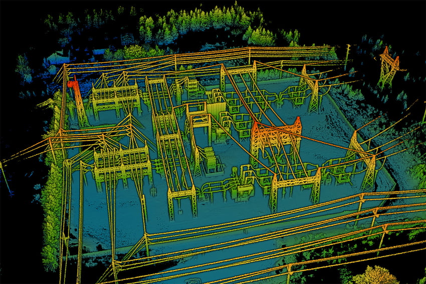
In the utility sector, these drones are used for inspecting power lines, pipelines, and other infrastructure. Traditionally, this task requires manual inspection or the use of manned aircraft, both of which can be risky, time-consuming, and expensive. Autonomous drones can safely and efficiently survey power lines, even in remote or difficult-to-access areas. They can detect issues such as damaged cables, worn insulators, or vegetation encroachment, which are potential hazards leading to power outages or wildfires.
The use of autonomous LiDAR drones in the utility and energy sector not only enhances the efficiency and safety of inspections and maintenance but also plays a crucial role in environmental monitoring, disaster response, and the overall management of energy resources. Their ability to gather detailed data in difficult-to-access areas and their versatility across various applications make them invaluable assets in this sector.
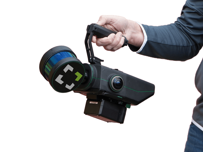
Nexys is rugged and configurable. It can be quickly and easily switched between a variety of configurations - handheld, backpack, aerial robot, terrestrial robot, vehicle, pole, custom configurations. Built for the most extreme environments, users have the flexibility and cost efficiency to use one device in any mapping environment.
The resulting point cloud is a survey-grade 3D model that can be imported into a variety of construction, geospatial, or other analytical software for inspection and further analysis.
Learn More about Nexys