
For years traditional cavity scans were captured by a member of the survey team positioning a pole-mounted void scanner near the brow of a freshly blasted stope. For more difficult scans, the scanners were mounted to telehandlers – highly versatile machines built to lift, move, and place heavy loads using its extendable boom – to help capture 3D models of difficult to reach places.
Each scan could take an average of 40 minutes to complete, tying up survey crews, delaying downstream workflows, and slowing the mine’s ability to quickly validate production results. During that time, survey personnel often worked in close proximity to unsupported ground conditions, making the process not only inefficient but potentially risky.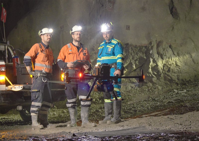
In 2026, this mine was contacted by an Exyn Channel Partner who offered to demonstrate Nexys’ 3D mapping and autonomous exploration capabilities as a potential solution. Download your copy of this Exyn Nexys Customer Case Study to learn more about the transformative power of autonomous mapping underground.