

Pair the CHCNAV X500 professional UAV with Exyn Nexys to bring autonomous, high-fidelity 3D mapping to demanding surveying, inspection, and industrial environments.
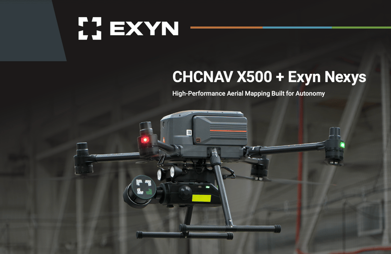
Designed for exceptional endurance, stability, and maneuverability, the X500 provides a powerful aerial platform for Nexys and ExynAI to perform autonomous data capture in complex and GPS-denied environments without prior maps or continuous pilot control. Together, the integrated solution combines robust flight performance with survey-grade reality capture to safely and efficiently map larger, more complex, and difficult-to-access areas.