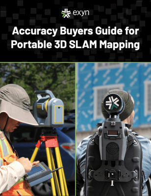
Industries from construction to mining are continually looking for ways to digitally capture the work that’s being completed on a variety of sites and transform that into a feature-rich 3D model that can be further analyzed by geologists, project managers, architects, or anyone else looking to contribute to or monitor progress of a project.
If you’re in the field of surveying or geospatial mapping, you might have heard of a “SLAM system” or “mobile SLAM” and have some questions about what the technology is, how it works, and if it’s even useful for your industry.
In this whitepaper we will break down:
-
What SLAM is and how it works
-
What environmental factors can affect the accuracy of a SLAM platform
-
And what kind of SLAM accuracy is required across a variety of industries
Understand The Power of SLAM
Download your copy of Accuracy Buyers Guide for Portable 3D SLAM Mapping